
Measured and topographical surveys in Cotswold
Floor plans, elevations and site levels in Cotswold for your architect, designer or planning application.
 Free and no obligation
Quotes for each survey you choose
Free and no obligation
Quotes for each survey you choose
A measured building survey in Cotswold produces accurate floor plans, elevations and sections of your home as it stands today, and a topographical survey records the plot: ground levels, boundaries, trees and drains. Architects use them as the basis for designs and planning drawings, and many surveyors do both in one visit.
Building work in Cotswold
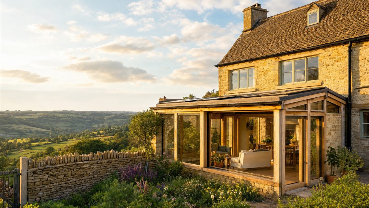
Stone cottages, period townhouses and rural plots are typical of the South West. Oak-frame and glazed extensions, barn and outbuilding conversions and work in conservation areas or near listed buildings are common.
Planning applications in Cotswold are decided by the local planning authority for Cotswold. Building regulations are checked by the council’s building control service or a registered building control approver, and party wall matters are handled separately between neighbours.
Postcode districts in and around Cotswold include GL7, GL8, GL54, GL55, GL56.
Areas in Cotswold include
- Willersey, Chipping Campden & Blockley
- Moreton & Stow-on-the-Wold
- Bourton-on-the-Water & Vale
- Sandywell, Ermin & Chedworth
- Northleach, Coln Valley & Ampneys
- Cirencester East & Stratton
- Cirencester Central
- Cirencester South
- Fairford & Lechlade
Measured or topographical: which survey in Cotswold?
Measured building survey
Rooms, walls and thicknesses, openings, floor and ceiling heights, roof
Typical use: Designing extensions, lofts and refurbishments; planning drawingsTopographical survey
Ground levels, contours, boundaries, trees, drains, neighbouring buildings
Typical use: New builds, sloping gardens, extensions near boundaries or treesBoth in one visit
The building and the plot on one set of drawings
Typical use: Rear extensions, annexes and garden buildingsEstate agent floor plans are not drawn for design and usually carry an “illustration only” disclaimer. For an extension, loft or planning application in Cotswold, designers normally work from measured drawings.
What you receive
Scaled floor plans of each level
External elevations and sections
Roof plan for loft and dormer projects
Site plan with levels, boundaries, trees and drains (topographical)
PDF and CAD (DWG) files at scales agreed with your designer
Common projects in Cotswold that involve measured and topographical surveys

Extensions
Designers work from measured floor plans, elevations and sections of the house as it is today.
Loft conversions
A roof plan and sections help position stairs, dormers and new floors accurately.
Sloping gardens
A topographical survey records levels so foundations, steps and drainage can be designed properly.
New builds and annexes
Plot surveys show boundaries, trees, drains and neighbouring buildings for planning drawings.
Garden rooms
Levels and tree positions help choose where the building goes and which foundations to use.
What measured and topographical surveys cost in Cotswold
Survey prices depend on what needs recording. These are the main factors surveyors quote on:
Size of the property or plot
More floors, rooms or land take longer to measure and draw
Drawings needed
Floor plans only cost less than plans, elevations, sections and roof plan
Complexity
Older homes with uneven walls, split levels or complex roofs take longer
Outputs
3D models and point clouds usually cost more than 2D drawings
Timescale
Urgent delivery for a planning deadline may cost more
Sending every surveyor the same drawing list is the best way to compare like with like.
How the process usually runs
- Agree the scope with your designerWhich drawings, which scale, which file format.
- Book the surveyShare the drawing list so quotes cover the same work.
- Site visitThe surveyor measures inside and out, often in a few hours.
- Drawing upMeasurements are processed into CAD drawings.
- DeliveryPDF and CAD files go to you and your designer.
Before you get quotes in Cotswold
Having these ready means quotes are accurate and easy to compare:
- Your address and the type of property
- What you are planning: extension, loft, refurbishment, new build
- The drawings and formats your architect wants
- Whether the garden or plot should be surveyed too
- Access to every room, the loft and any cellar
How getting quotes works
Tell us about your project
A few quick questions about your property and the work you are planning.
Choose your surveys
We show which surveys your answers point to. Untick any you do not want.
Compare your quotes
Receive quotes from local professionals for each survey you chose.
Measured and topographical surveys in Cotswold: common questions
What is the difference between a measured survey and a topographical survey?
A measured survey records the building: rooms, walls, openings and heights. A topographical survey records the land: levels, boundaries, trees and drains. Many projects in Cotswold use both.
Can my architect use the estate agent floor plan?
Rarely. Marketing floor plans are approximate and usually leave out wall thicknesses, heights and elevations, so designers normally ask for measured drawings.
What drawings will I get?
Typically floor plans, elevations and sections, and a site plan for topographical work, as PDF and CAD files such as DWG.
How long does a measured survey take?
The site visit for a typical house often takes a few hours. Drawing up follows at the office; ask for a delivery date with each quote.
Do I need a survey for a planning application in Cotswold?
Planning drawings show the building before and after the work, so most designers start from accurate existing drawings. Your architect can confirm what the local planning authority for Cotswold will need.
Does a topographical survey show my legal boundary?
It shows physical features such as fences and walls. Legal boundaries are defined by title documents.
Can the building and garden be surveyed in one visit?
Yes. Many surveyors carry out a measured survey and a topographical survey together, which is usually more efficient.
How do I get survey quotes in Cotswold?
Enter your postcode, answer a few questions about the project and choose which surveys you want quotes for. Local surveyors then send you their quotes.
Guides
Other surveys in Cotswold

Party wall surveyors in Cotswold
Get quotes

Structural calculations in Cotswold
Get quotes
Tree surveys (BS5837) in Cotswold
Get quotesNearby areas
General information, not legal, planning or structural advice. A professional will confirm how the rules apply to your work. Cost figures are from published guides and are indicative only. Updated September 2026.
Sources: RICS and The Survey Association guidance on measured and topographical surveys; published UK survey guides. Area data: ONS local authority and small-area boundaries; House of Commons Library neighbourhood names.